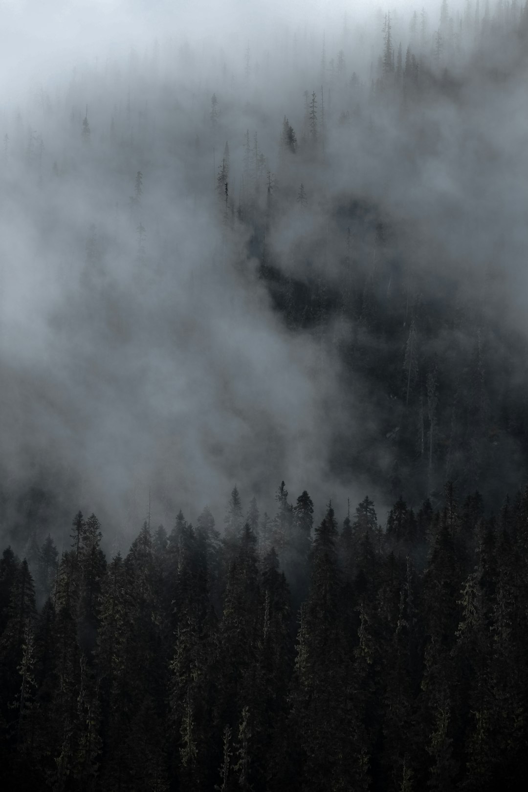
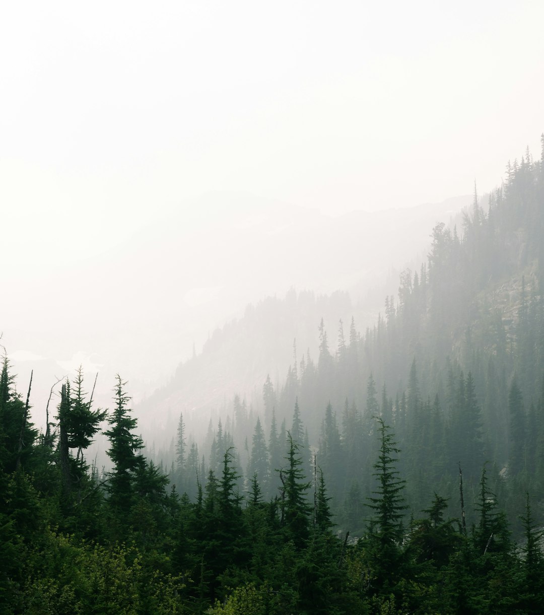
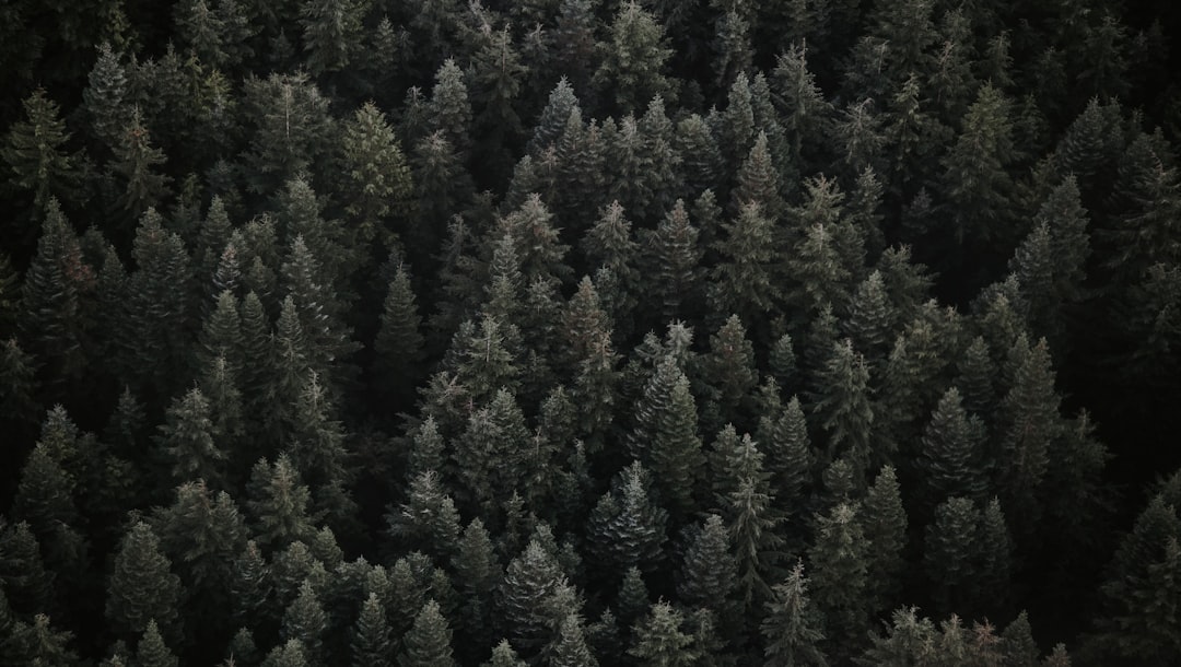
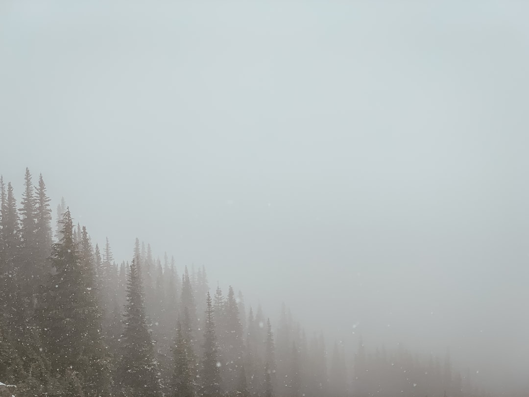
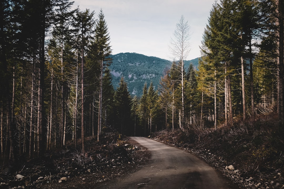
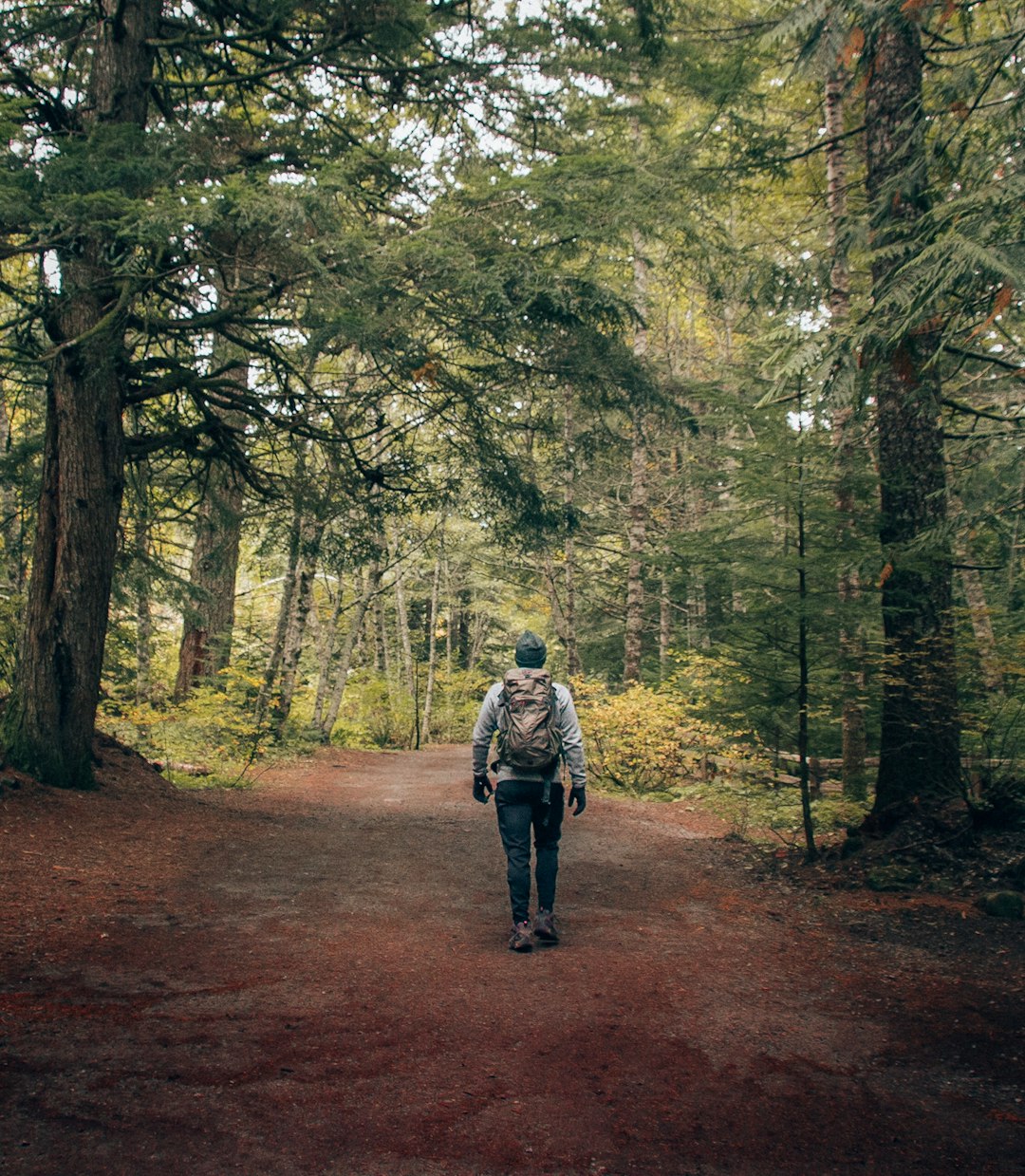
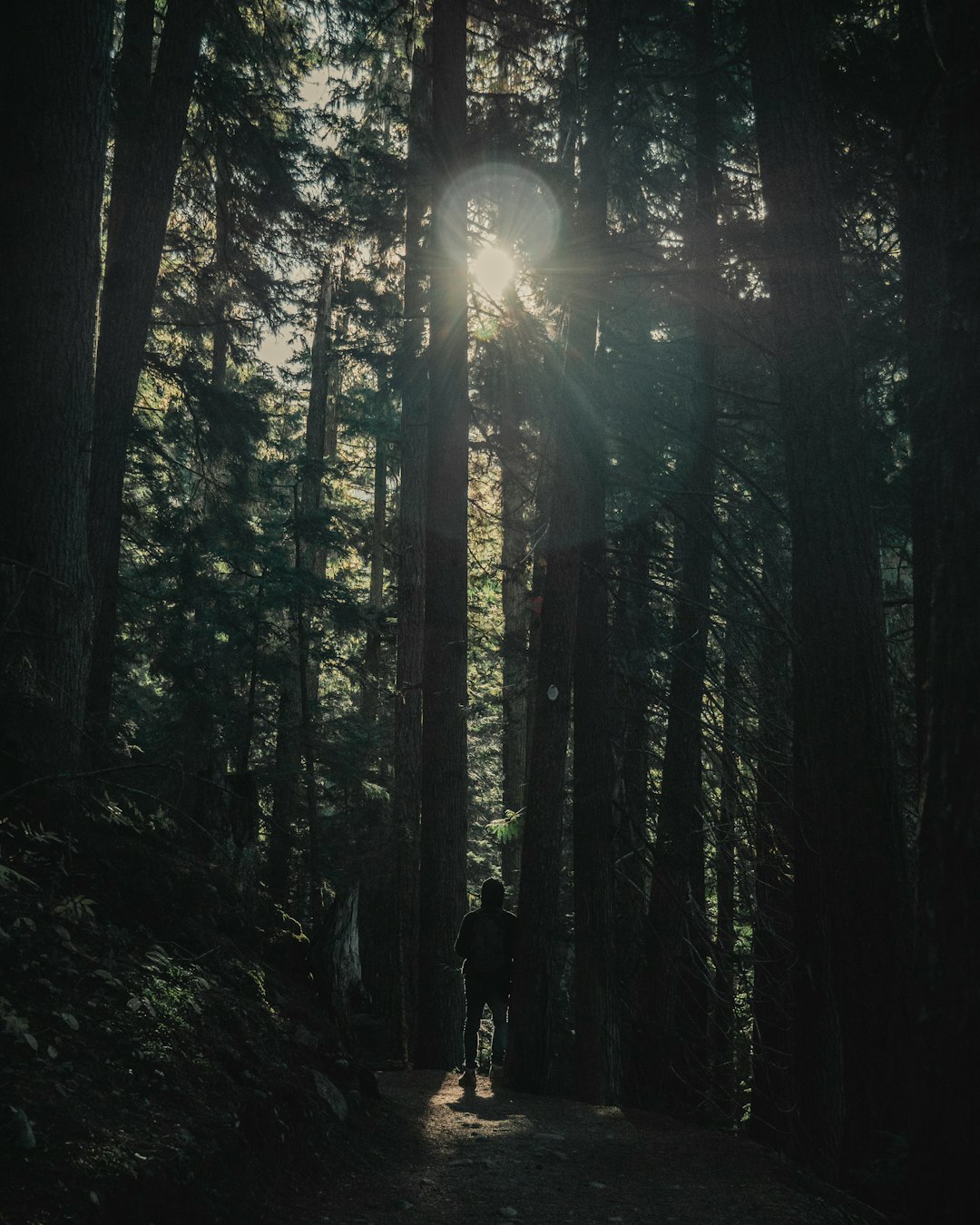
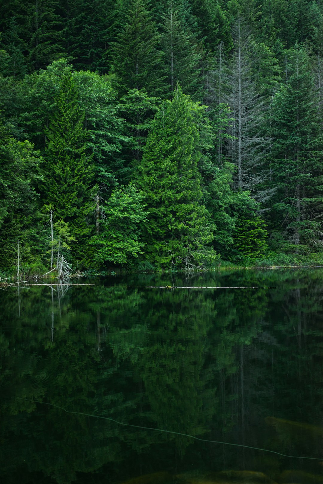
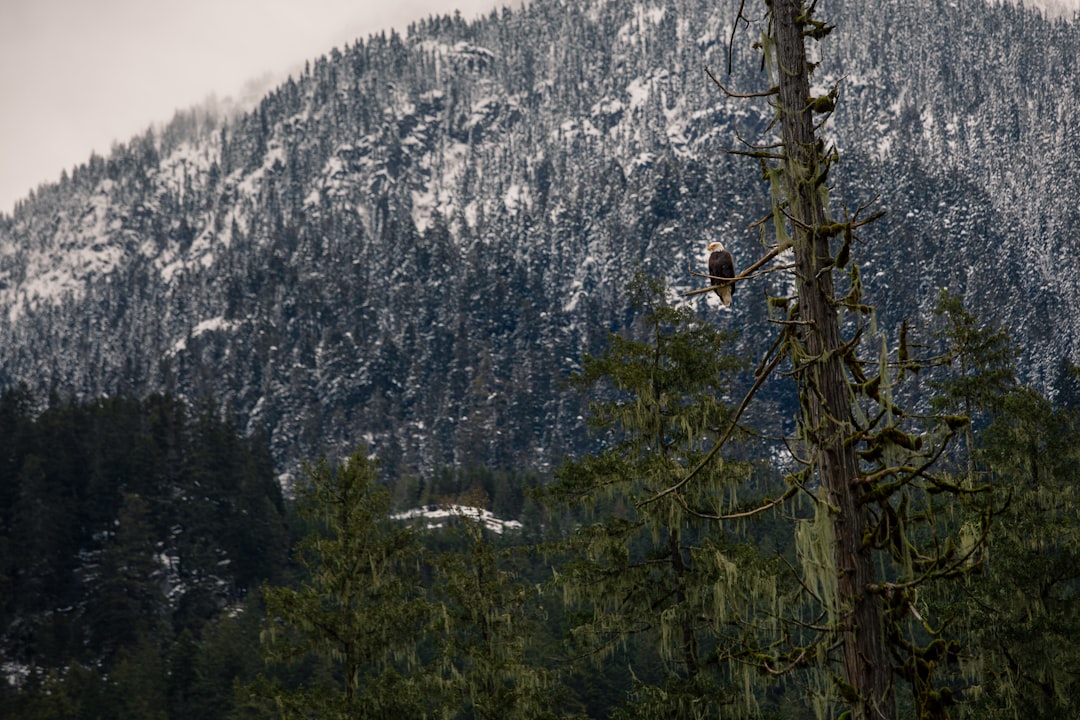
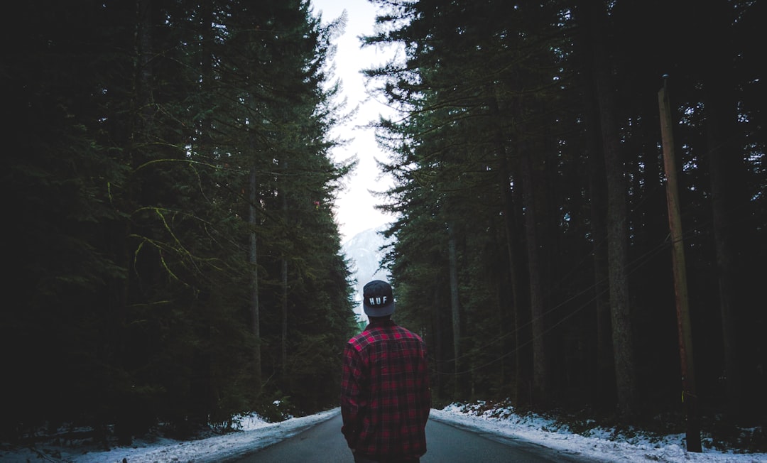
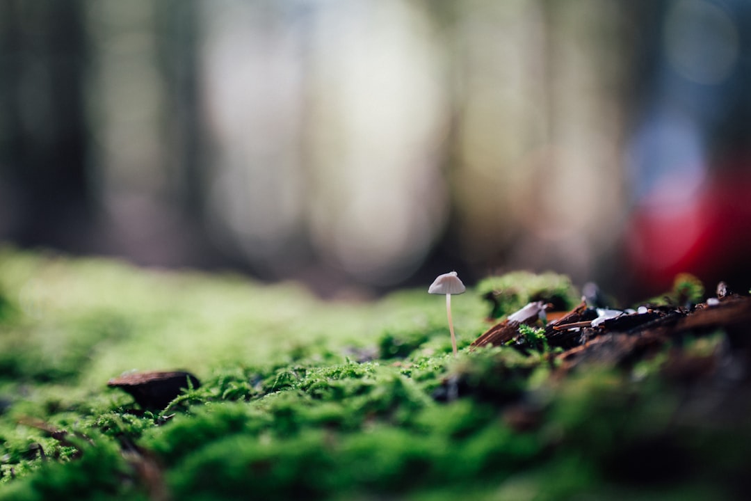
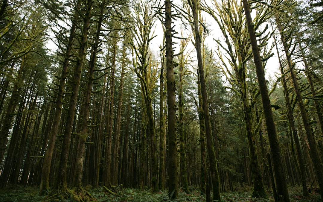
The Best Forest Photo Spots around Mount Currie in Canada
Explore Forest pictures of Mount Currie with the travel spots on a map
Download the Travel Map of Canada on Google Maps here
11 Forest Spots of Mount Currie on a Map
Pictures of Forest on the interacive map of Mount Currie
Download On Google Maps 🗺️📲Forest Spots and Pictures around Mount Currie
Discover popular destinations in Mount Currie with their travel guides
Joffre Lakes Trail
Read the Travel guide View on Google Maps
Joffre Lakes Provincial Park
2 km away from Mount Currie
Read the Travel guide View on Google Maps
Squamish-Lillooet Regional District
28 km away from Mount Currie
Read the Travel guide View on Google Maps
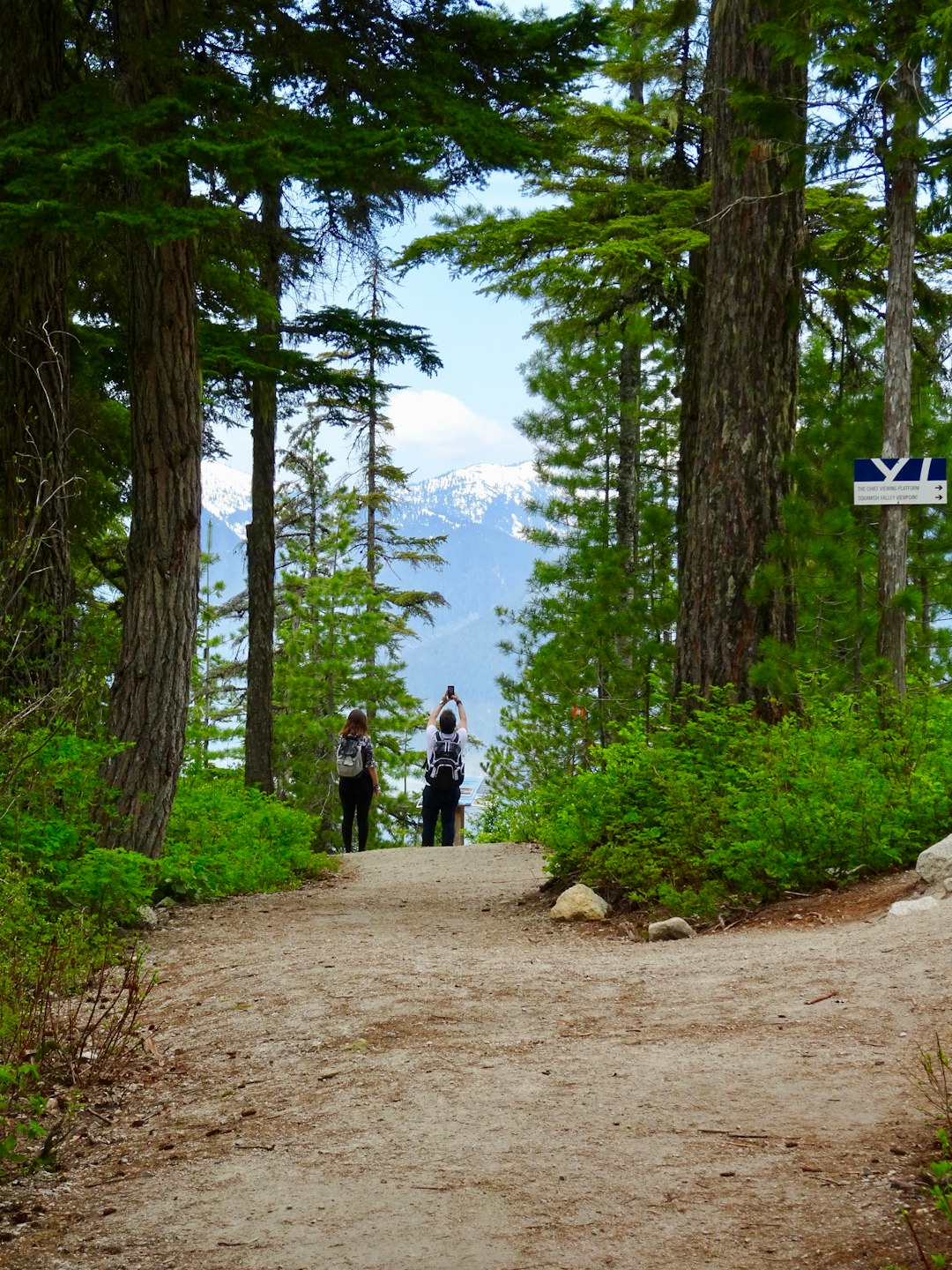
Whistler
43 km away from Mount Currie
Read the Travel guide View on Google Maps
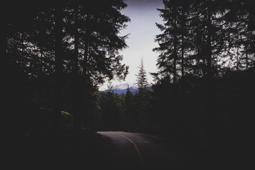
Cheakamus Lake
49 km away from Mount Currie
Read the Travel guide View on Google Maps
Brandywine Falls Provincial Park
57 km away from Mount Currie
Read the Travel guide View on Google Maps
Garibaldi Lake
61 km away from Mount Currie
Read the Travel guide View on Google Maps
Brohm Lake
75 km away from Mount Currie
Read the Travel guide View on Google Maps
Squamish River
76 km away from Mount Currie
Read the Travel guide View on Google Maps
Squamish
81 km away from Mount Currie
Read the Travel guide View on Google Maps
Golden Ears Provincial Park
99 km away from Mount Currie
Read the Travel guide View on Google Maps
Book your Travel Experience in Mount Currie
Discover the best tours and activities in Mount Currie and book your travel experience today with our booking partners
Learn More about Mount Currie
Find Hotels in Mount Currie
Discover the best hotels around Mount Currie, Canada and book your stay today with our booking partner booking.com